A few stops in Morgan County
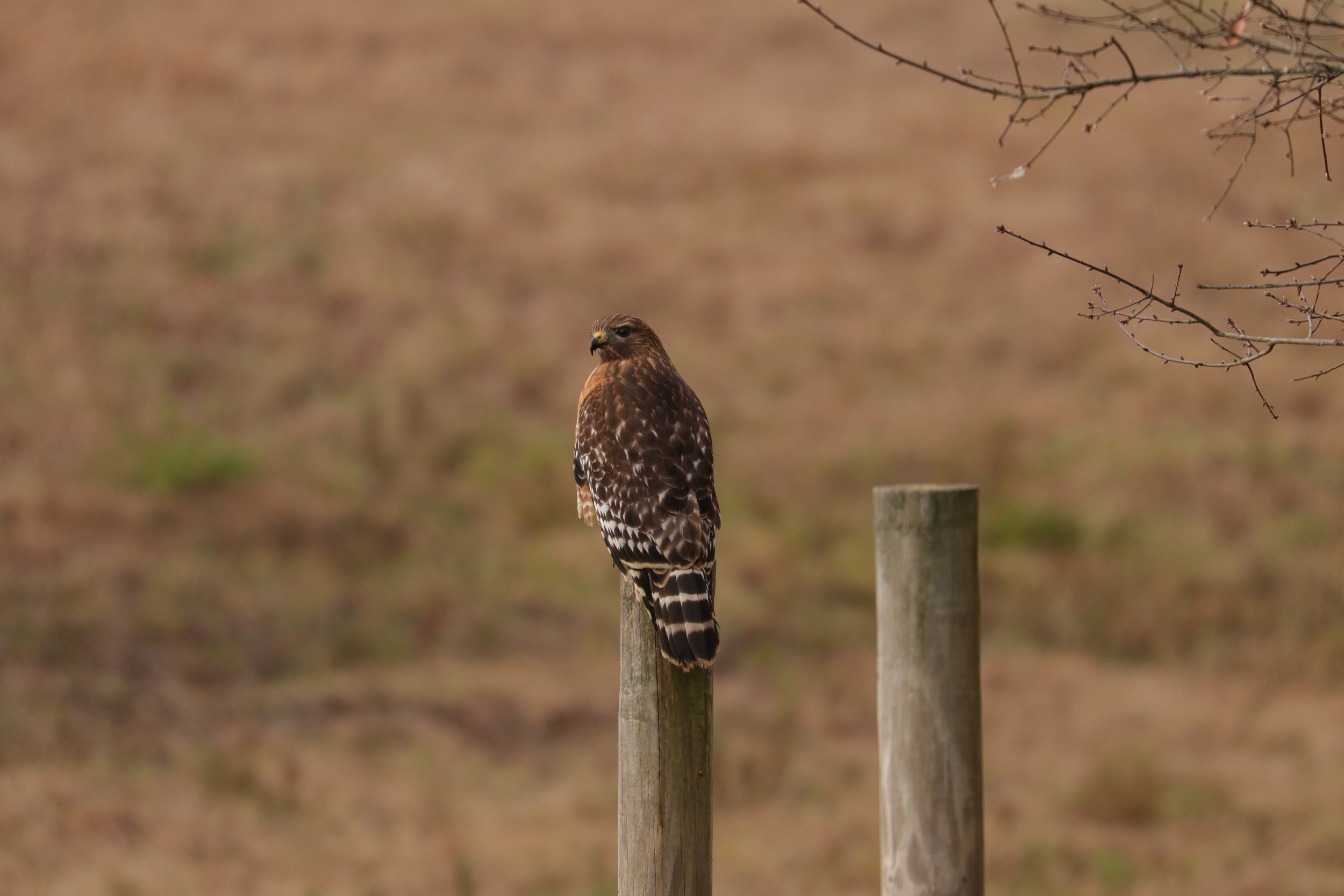
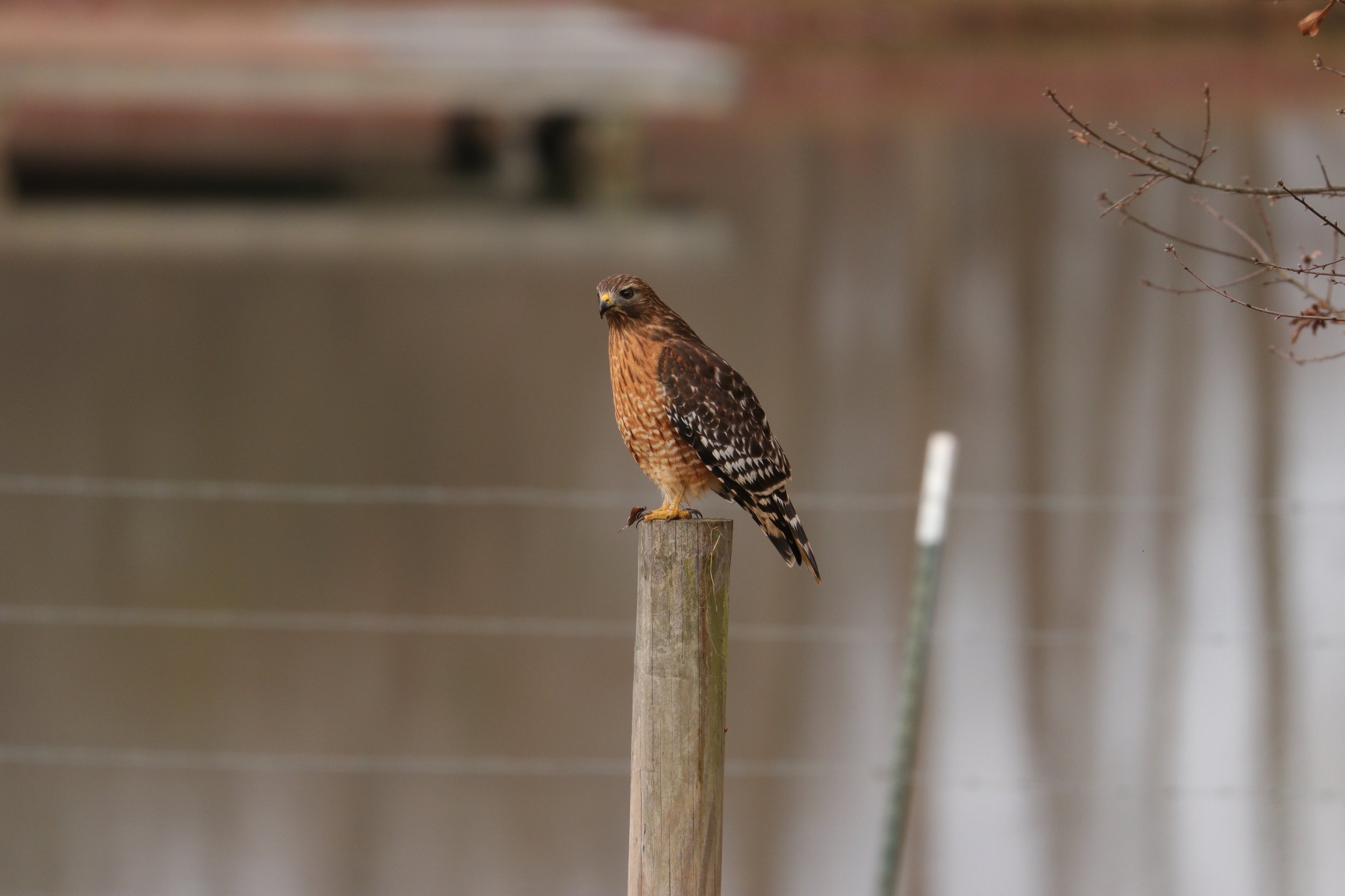
I took the kids on a drive yesterday. Since we wanted to give mom a little room to clean without Vera, me and the 4 kiddos loaded up and took a trip across some backroads. On the way out of the driveway we stopped briefly to visit with the red shouldered Hawk that has taken up residence in the front pasture. There is actually two of them so hopefully we’ll see some babies come springtime.
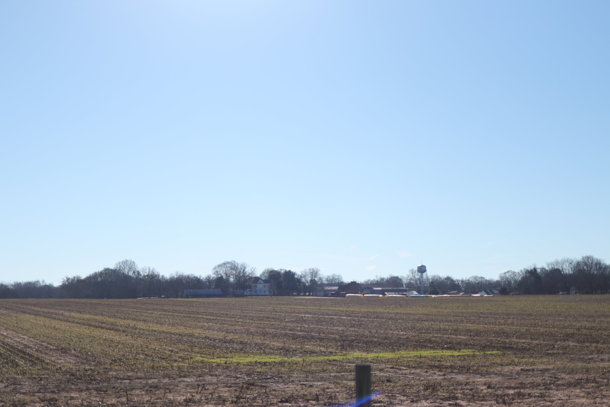
First we cruised down Echols Road. Its a nice little farm road. We stopped and took in a vista of downtown Bostwick from across a chopped cotton field. It was a peaceful setting. Its a short street and we then took a right onto Paxon Dairy. We passed by the old dairy. When crossing Bucks Creek just below the dairy we were able to see where the old road has crossed. the depression in the hillside and the low bridge abutments told of an earlier route. The road brought us to a dead end and we took the left onto Price’s Mill Road.
Price’s Mill is an old road. Although we did not drive all the way to the site of the Mill on the Apalachee River you can see how the road follows the contours of the land. The route to the old mill also carries a bit of history. At Price’s Mill, and down this road, Jefferson Davis and members of the Confederate government moved in the waning days of the war. Union troops were closing fast on Davis and their records showed that after crossing the Oconee down stream, they moved North and crossed the Apalachee at Price’s Mill before continuing their drive for the Trans-Mississippi.
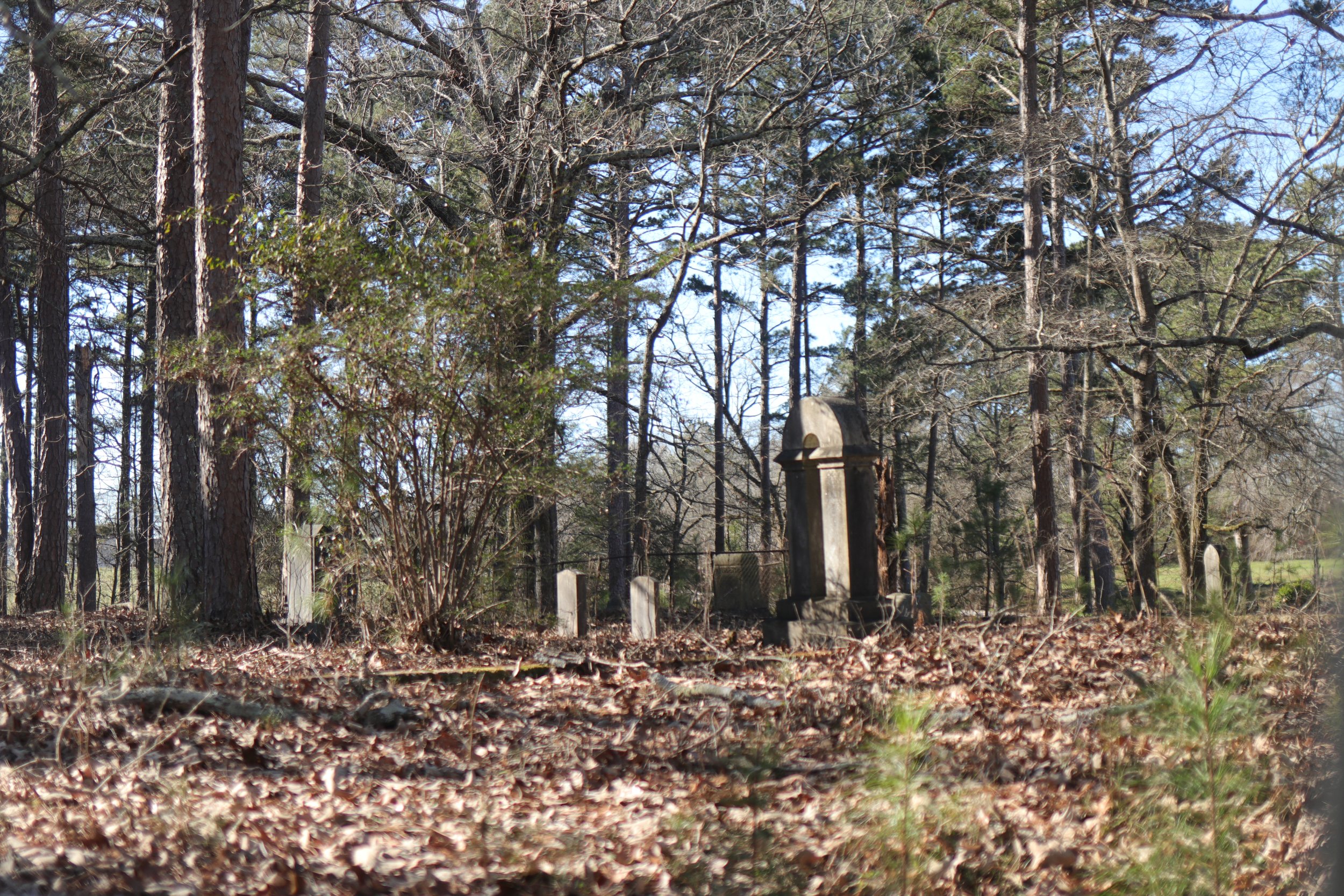
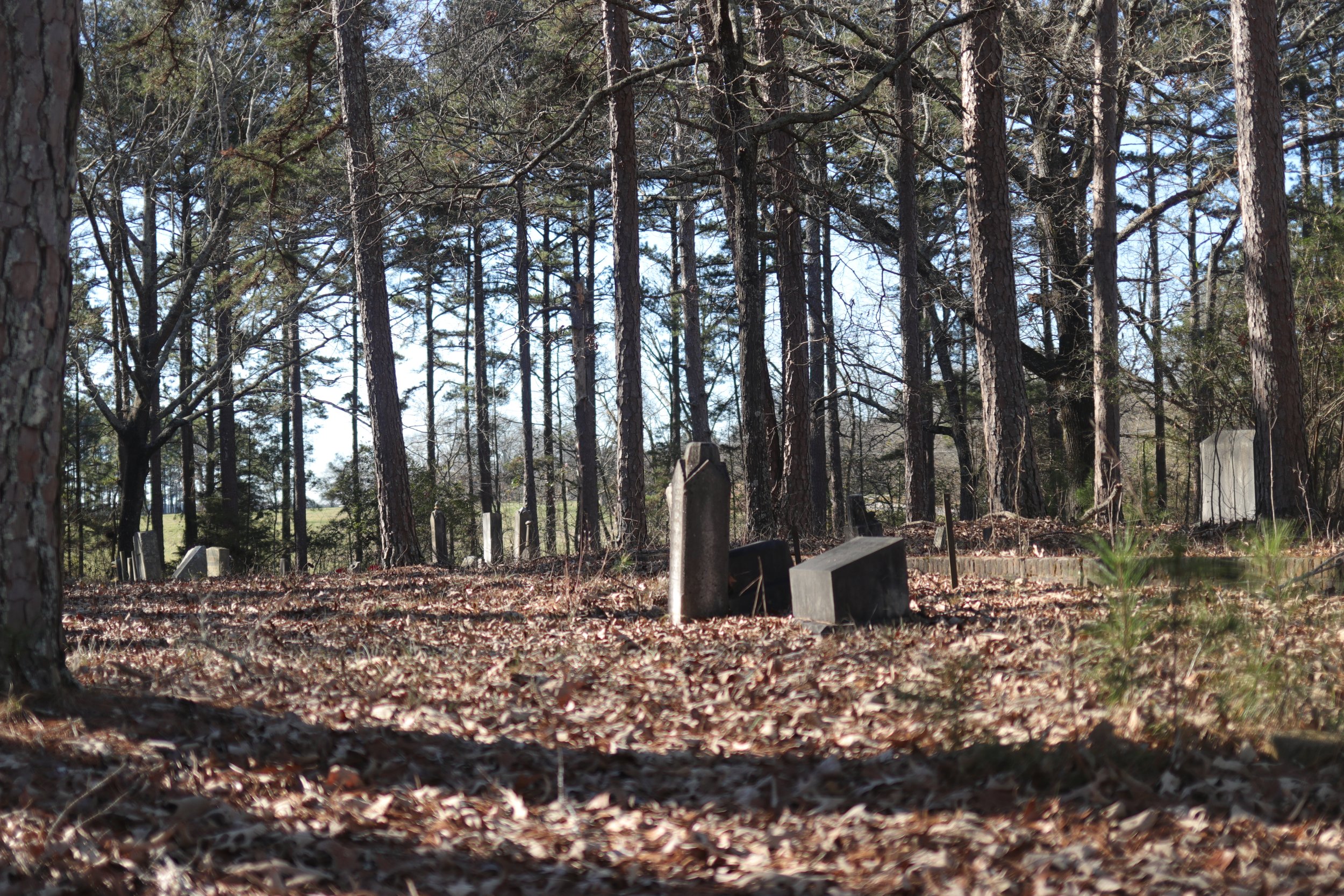
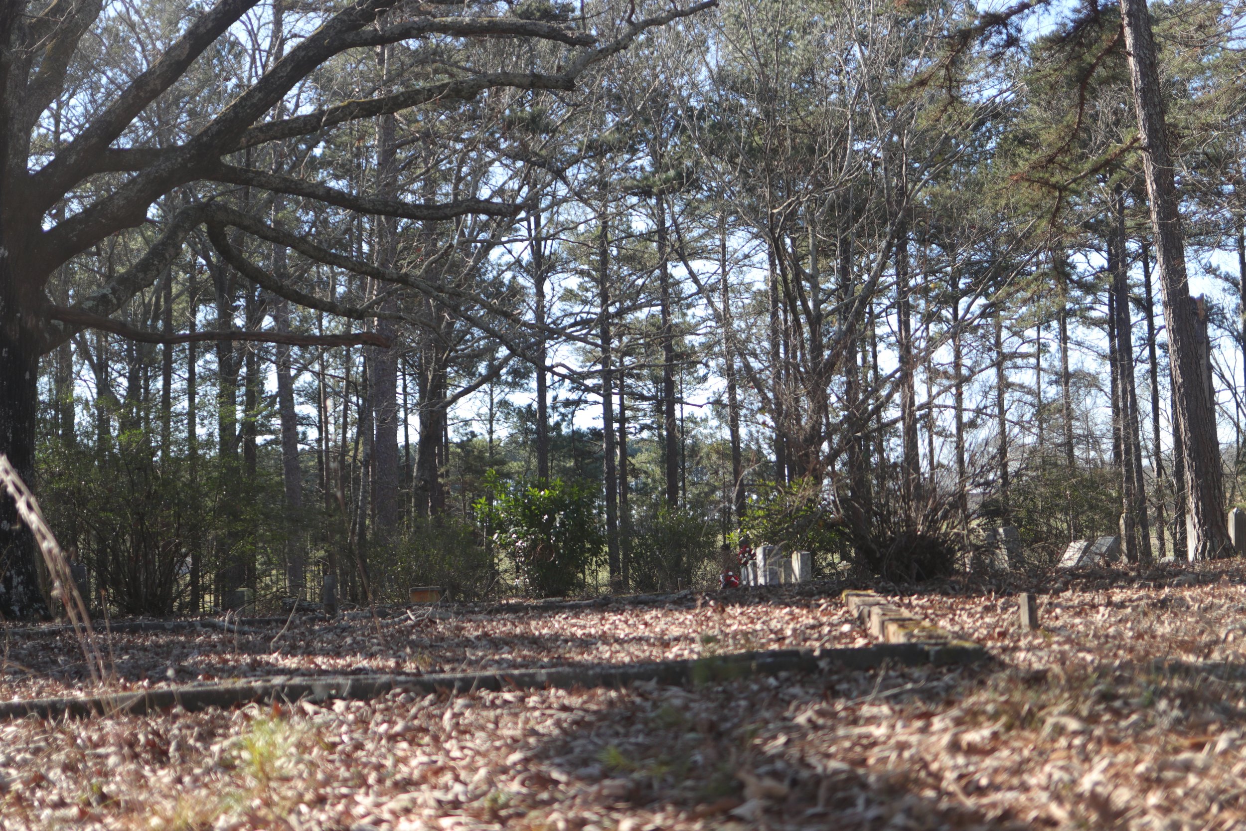
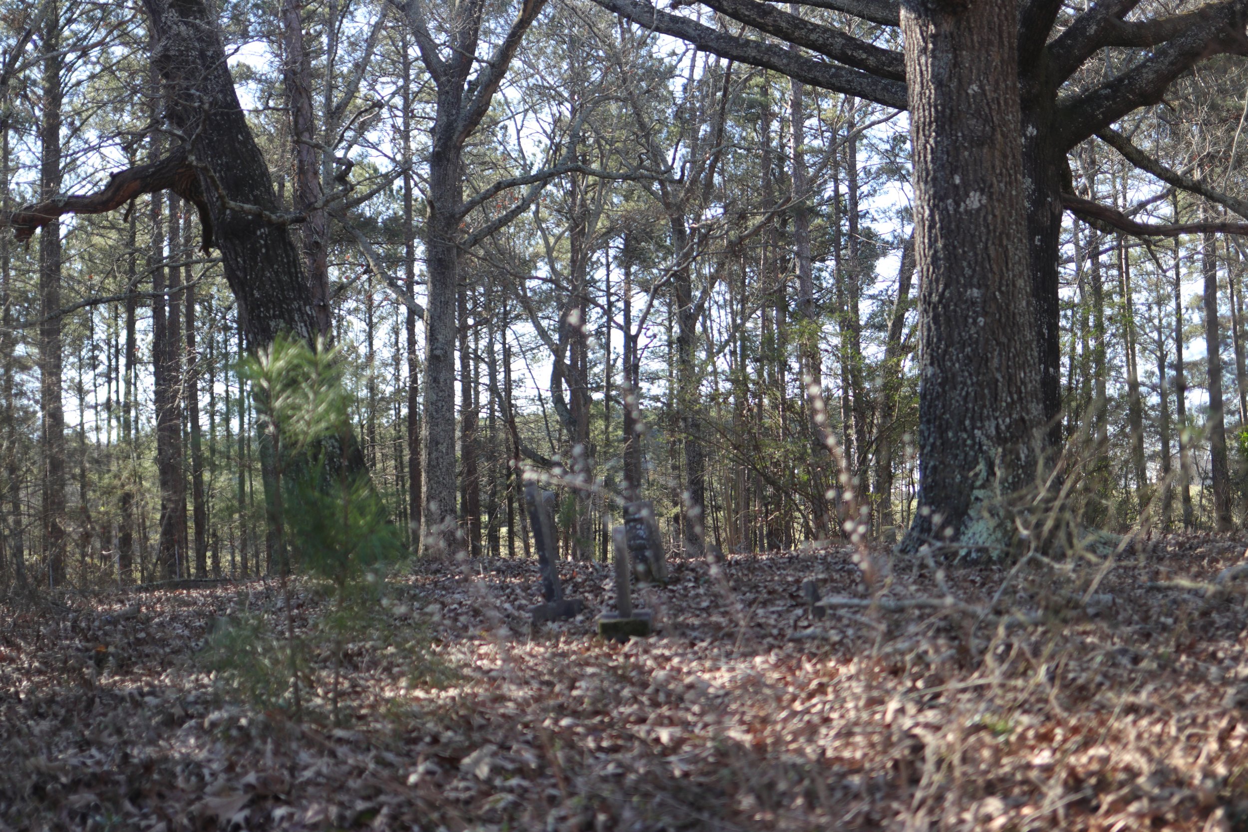
Before getting to the old mill site, we turned right onto Wagon Mill Road. At this juncture there is the old Rehoboth Cemetery (alternatively spelled Rehobeth). The cemetery appears to have been established around 1809. That date makes it one of the earliest in the area. 1804 was the first treaty line that included this land in the territory of the United States. Burials in the cemetery span from the early 1800s through 2019. A name that appears with recurrence in the plots is Launius. One of the older roads in the area still bears that name.
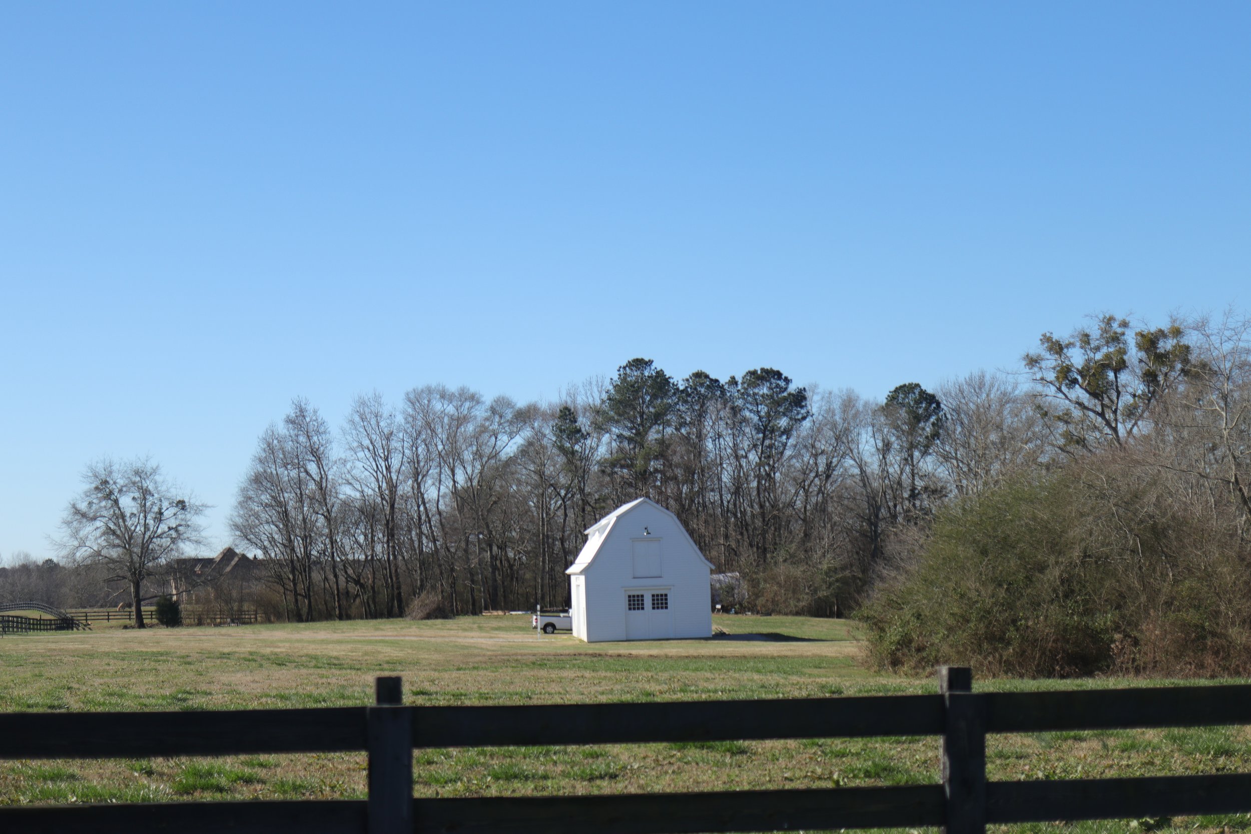
As we travelled down Wagon Mill road, the farms gave way to timber land. Some distance into the timberland we crossed Jacks Creek on a nice little bridge that afforded a wonderful view of some shoals. I have not searched yet, but judging by the old road bed, it appears this could have been the site of a mill giving the road its name. It was a most lovely spot and just a mile or so downstream from Jack’s Creek Tree Farm. As we climbed up out of the valley we again came to farms and rolling pasture. At the end of the road we took a left onto Apalachee Road.
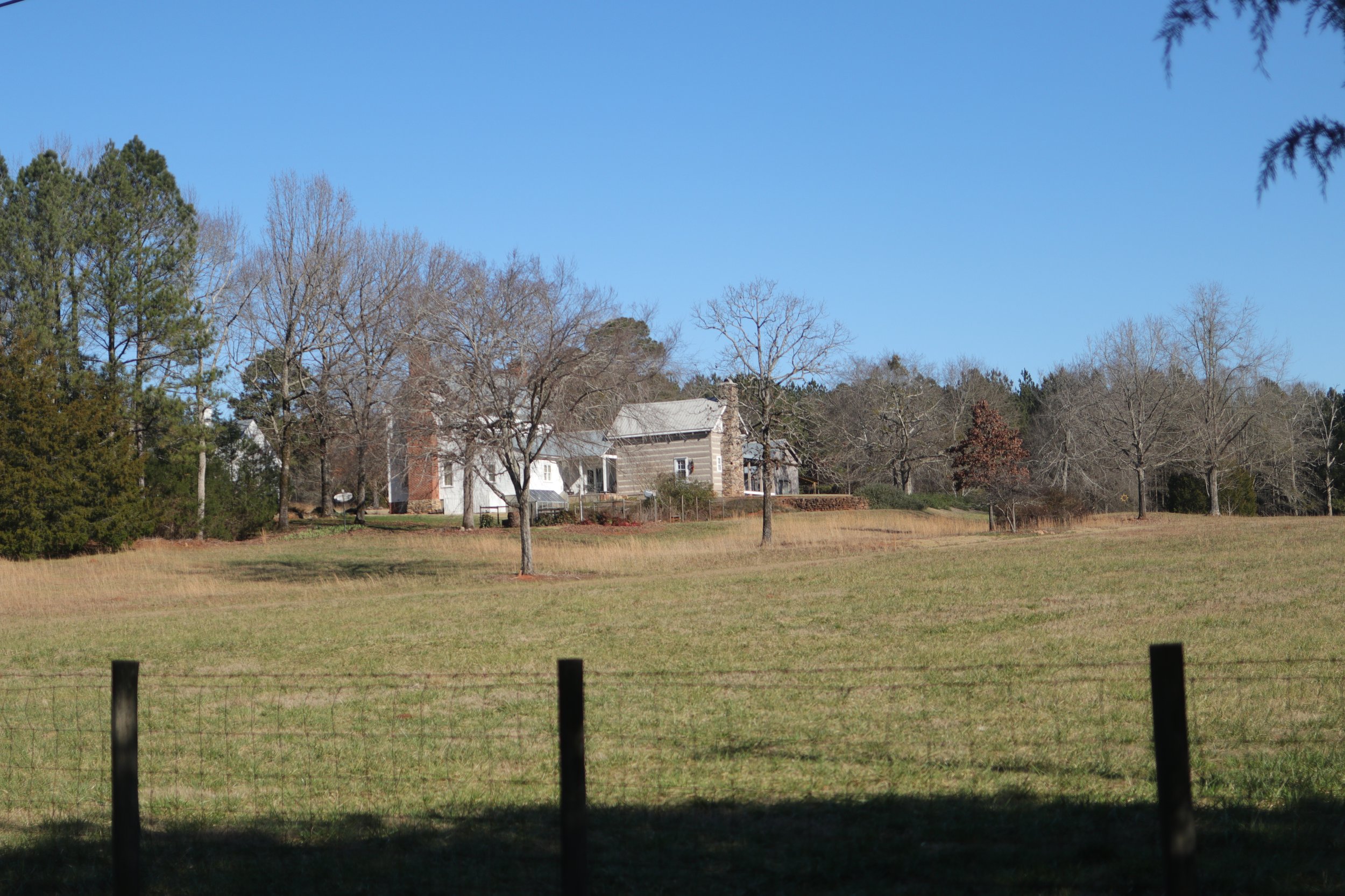
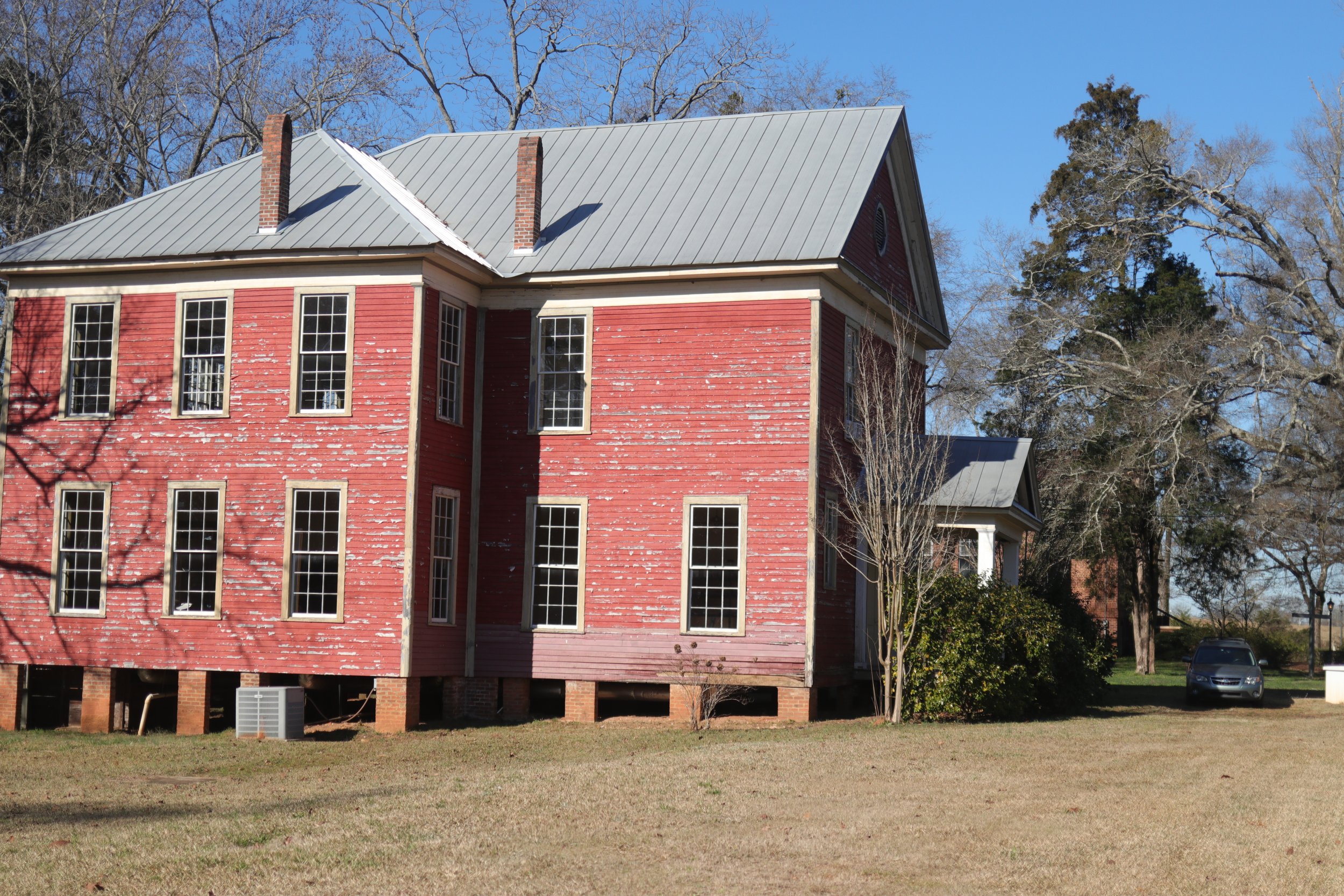
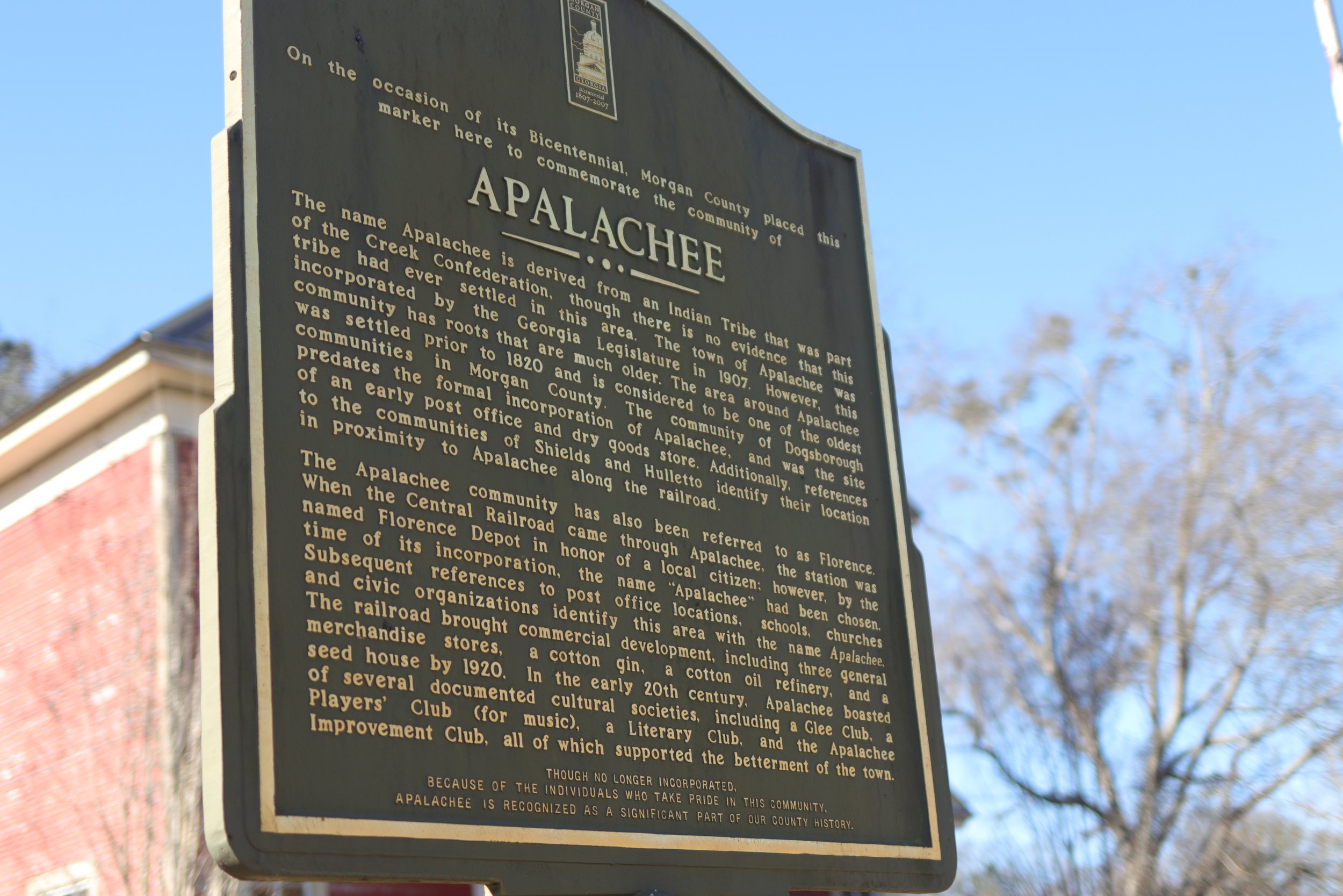
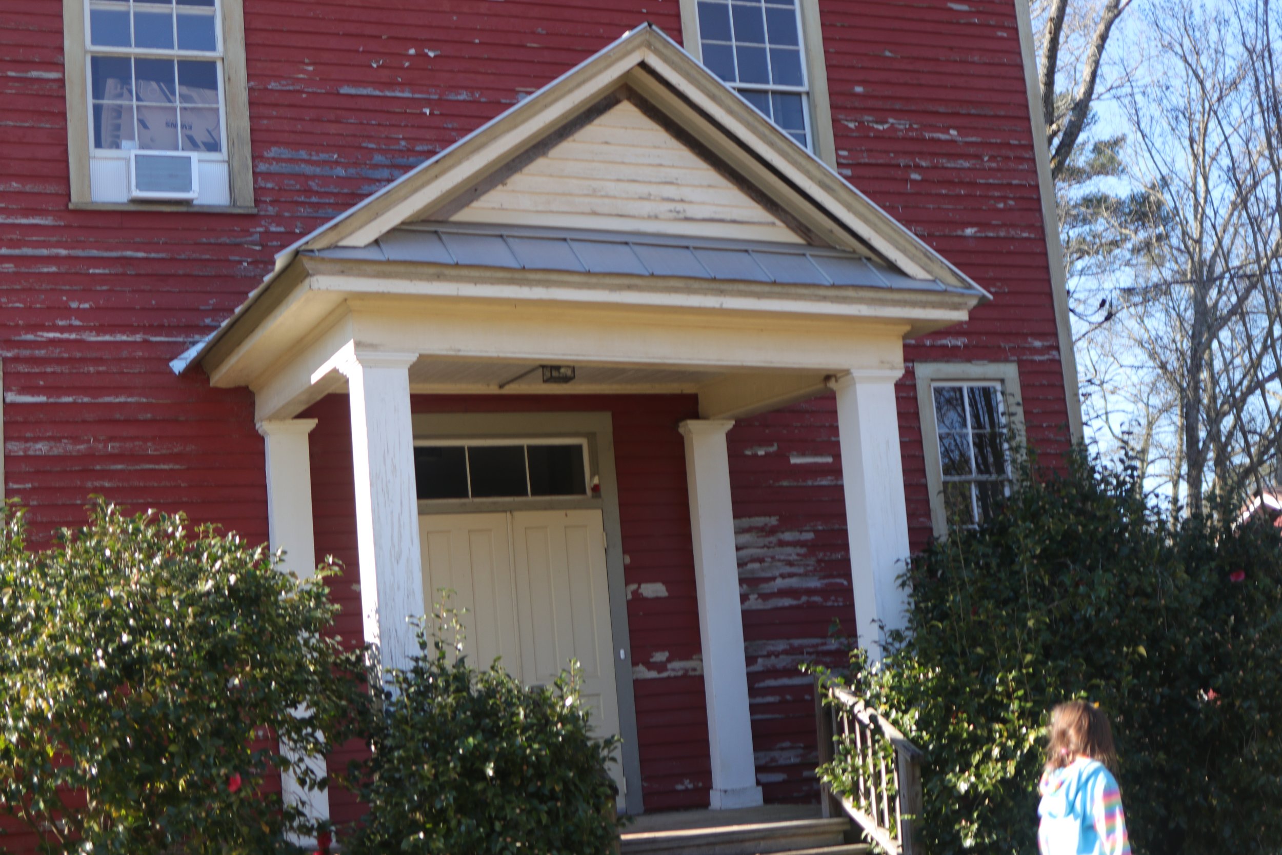
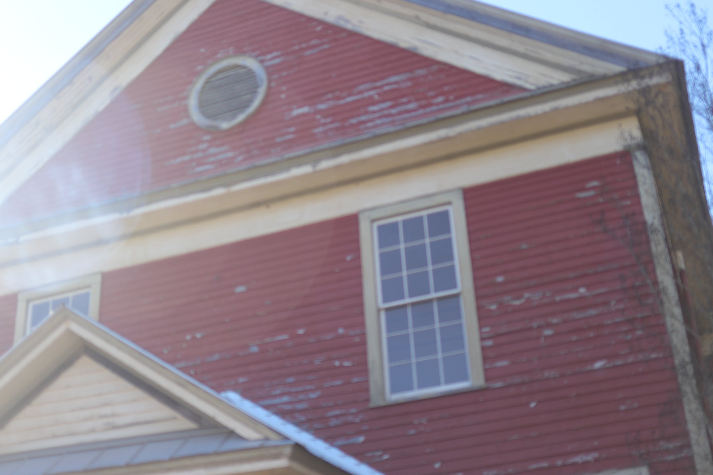
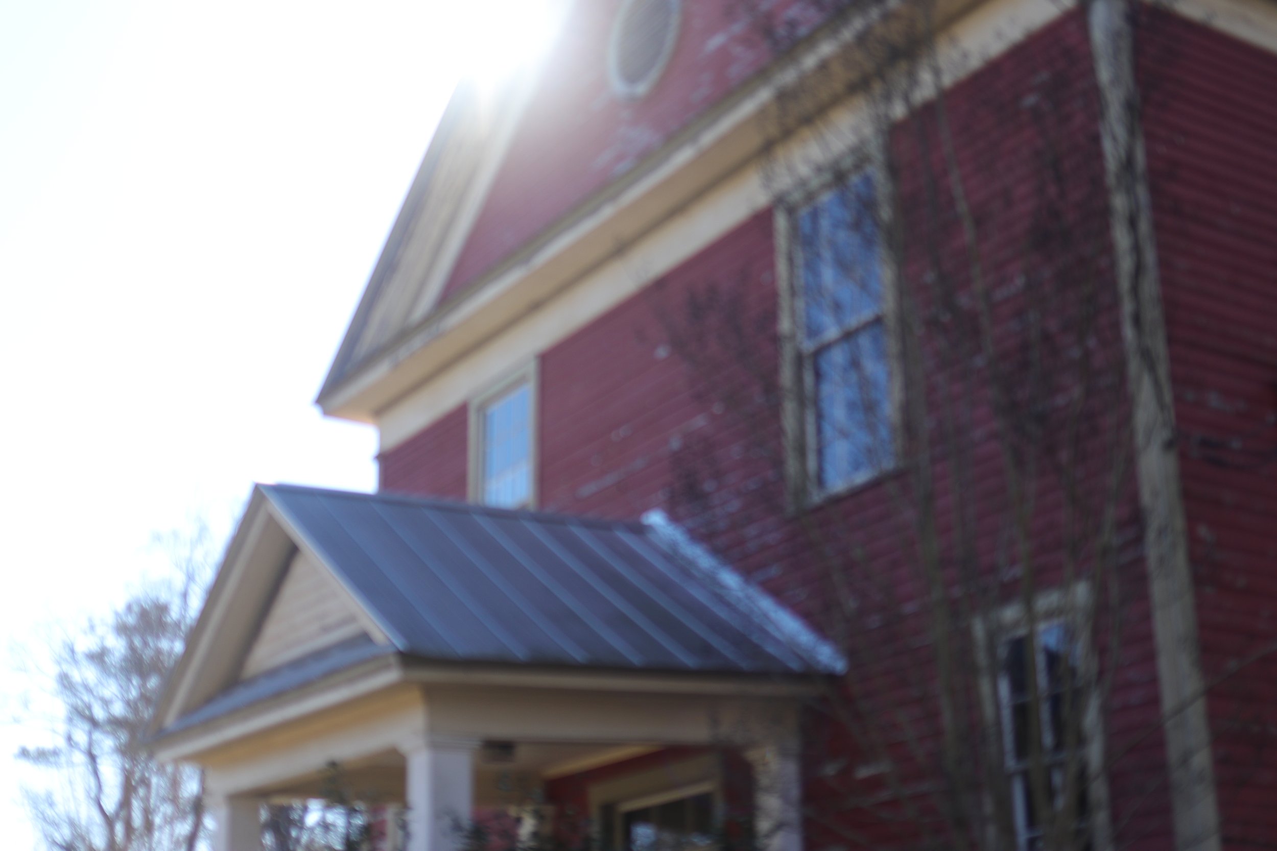
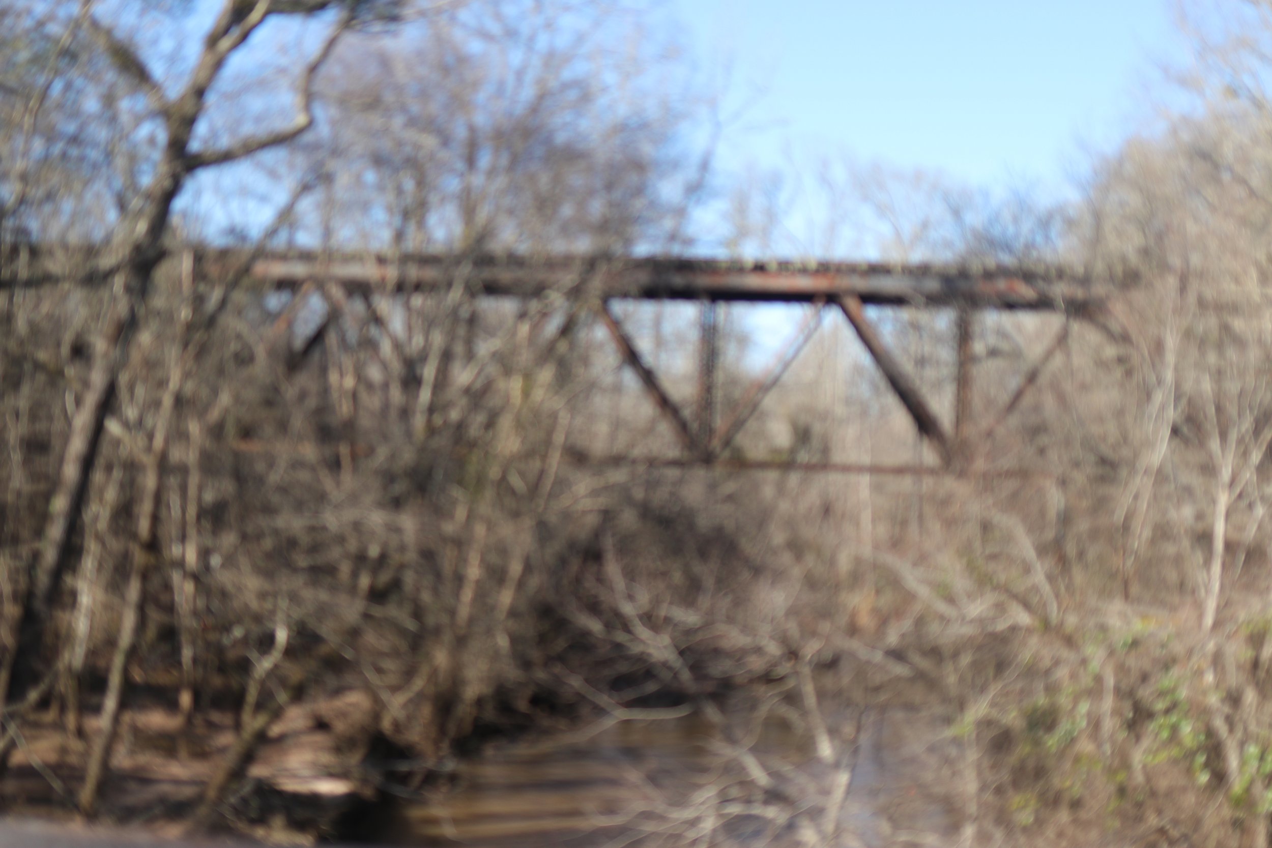
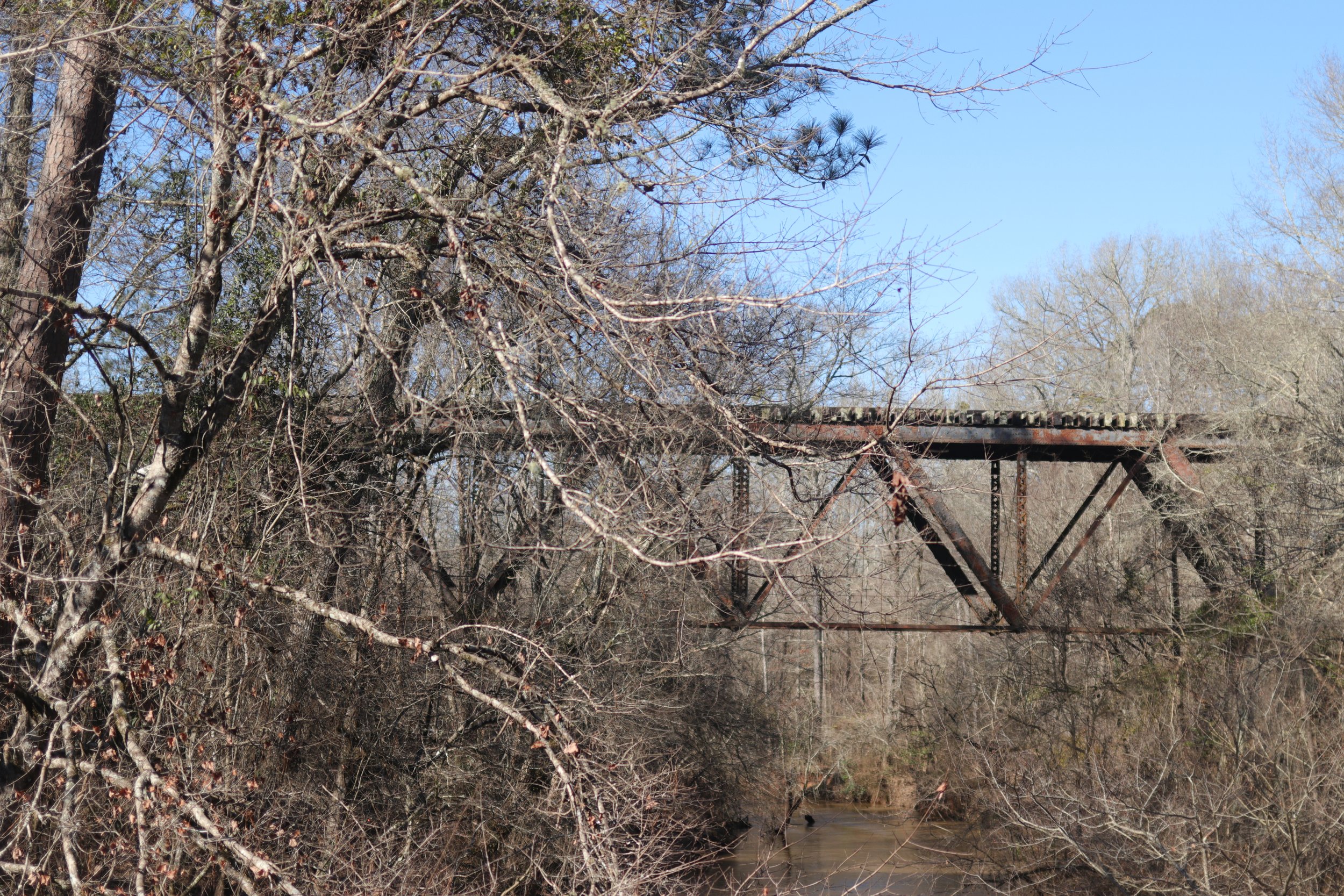
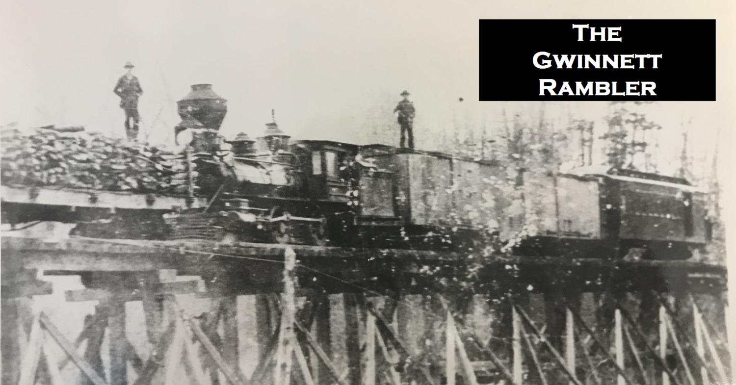
As we drove toward the small community of Apalachee, we were paralleling the old Green County Railroad bed. The tracks were tore up years ago, but at one time a line ran from Apalachee (where it connected with the Central of Georgia) to Monroe via Bostwick. The old tracks in Bostwick would have ran behind the Cotton Gin and across the Sod farm. The name of the railroad is a bit misleading because the intended routes to Greene County were never completed. Arriving at Apalachee the old Central of Georgia Tracks were still in place (some to the rail there dates to 1897). We stopped at the old Apalachee School. The school is only open to the public on special occasions so we walked briefly around the exterior and took in the the historical marker before jumping back on Lower Apalachee Road. We followed the old Railroad and saw the trestle over Hard Labor Creek before we had to make a left turn onto Briar Creek Road. Apalachee road is closed at the old railroad crossing because of a failed bridge.
Briar Creek Road offered little in the ways of scenic vistas because of the heavy timber. We did see a hunter who had taken advantage of a deer’s poor choices that morning. We arrived at Greensboro highway and headed toward Madison. The return to Home in Bostwick was fairly uneventful and the house had been fully cleaned and prepared for Jude’s party. It was a nice trip through the countryside. I hope to take many more. I hope to locate some of the 1812 forts along the 1804 treaty line. I’d like to find the battlefield where some Georgia Militia Dragoons were ambushed by Creek Indians on the banks of Sandy Creek. I’d love to find out more and more about the area. Below are some photos from the drive. Eleanor took most of the photos, so she gets the credit.
Eli